


Welcome to the
Upper Mississippi - Grand Rapids Watershed!
Questions about your land or shoreline? Let’s talk, start here.
Thinking about a shoreline project? We’re here to help! Fill out the form and we'll answer your questions and can even meet you on-site to walk your property, talk through your goals, and see how cost-share funding could cover up to 75% of the project (no income restrictions!).

Welcome to the Upper Mississippi - Grand Rapids Watershed!
Where small changes really add up!
The UM-GR Watershed is the first watershed downstream from the Mississippi River-Headwaters Watershed and is one of the largest watersheds in the state. All 1.3 million acres of the UM-GR Watershed drain to the Mississippi River, which flows through the watershed from the United States Army Corps of Engineers (USACE) dam in Cohasset, meanders south into the Mississippi River-Brainerd Watershed north of Aitkin, and eventually flows into the Gulf of Mexico.
FIND YOUR PROPERTY ON THE MAP.
CLICK ON THE MAP TO CONNECT WITH
YOUR LOCAL SOIL AND WATER
CONSERVATION DISTRICT.


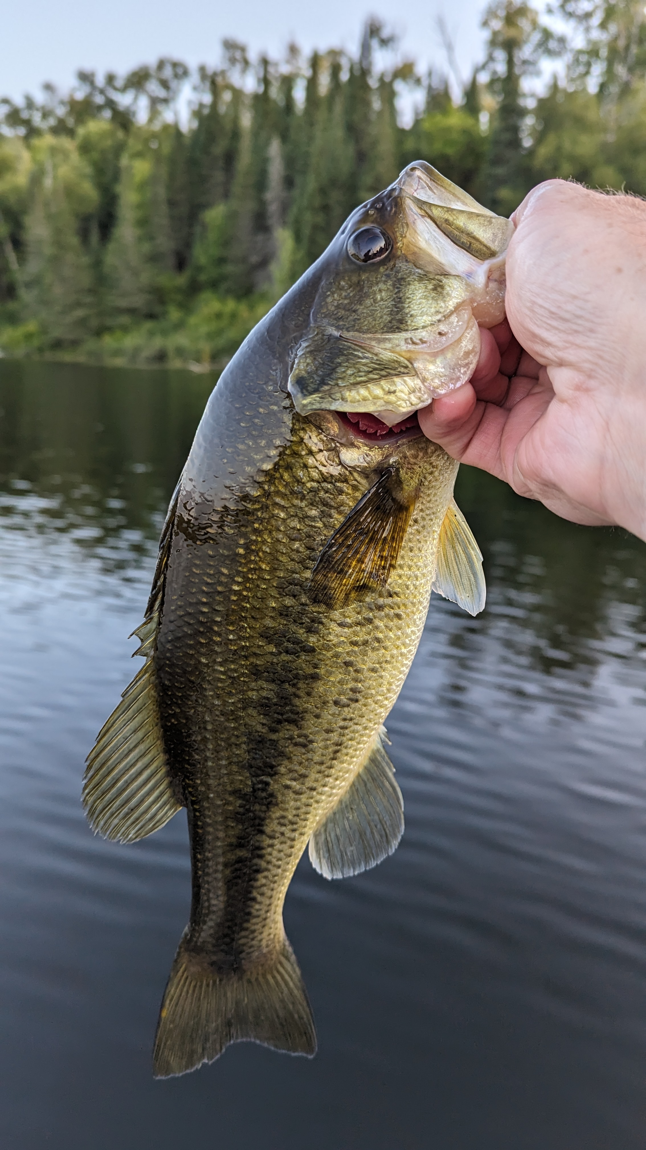
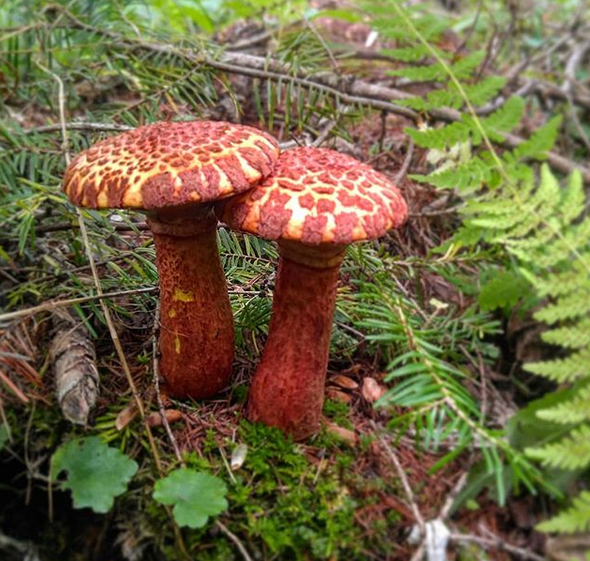

Protecting Our Waters Is Preserving Our Way Of Life
Watershed Vision:
From the peatlands to the iron range, we work to protect our vibrant Northwoods lands and waters for vibrant communities.
This Comprehensive Watershed Management Plan (CWMP) was developed in 2023-2024 as a part of the Board of Water and Soil Resources (BWSR) One Watershed, One Plan Program (1W1P).
This program seeks to align watershed planning along hydrologic boundaries rather than jurisdictional ones, making partnerships between local government units within the watershed essential during planning and implementation. With very few water quality impairments and 37% public land ownership, the UM-GR CWMP focuses on nondegredation.